BasketballGantry Plaza SP, near 48th Avefree
Gantry Plaza basketball courts
Adult and kids' courts mid-park, near 48th Ave.
✓ NY State Parks
The Hunters Point, Queens ledger runs past the zip line: 21 of its doors sit in a neighbouring zip — ledgered all the same, marked with their true zip.
Parks, free workouts, playgrounds, piers, mailboxes, shipping counters. No ads, no ranking games — just what's there, with its source.
Adult and kids' courts mid-park, near 48th Ave.
Full outdoor court beside the Oval and the outdoor gym.
A flat ~1.3-mile run-and-ride esplanade: Anable Basin → the Gantry piers → the Newtown Creek overlook. The neighborhood's running loop.
Two runs inside the state park.
Double run — small-dog and all-dog sections, with water stations.
Adult fitness equipment beside the basketball court, just south of the Oval.
Second set of adult exercise equipment in the 2018 extension, near the cantilevered overlook.
Handball walls beside the basketball courts.
Non-motorized boat launch by the wetlands at the park's south end — volunteer groups run free paddles in season.
Steven Holl's $41.5M cut-concrete tower of reading rooms, opened 2019 — the zip's signature building, and it's all free inside.
12 acres of reclaimed rail-yard waterfront — four piers, open lawns for pickup play, and point-blank views of the midtown skyline. Open dawn to dusk.
11 acres of resilient parkland from 50th Ave to Newtown Creek — green oval, wetlands, promenade. Phase 1 opened 2013, phase 2 in 2018.
One of the park's four piers, with its own fish-cleaning table.
Two playgrounds, a tot lot and a seasonal mist fountain.
Phase-1 playground by the pavilion and the Oval.
The 2018 extension's playground, below Borden Ave.
No retail post office inside 11109 — the nearest counter sits at 21st St, a short walk east.
Hunter's Point South's circular turf field — pickup soccer, school athletics and league play, ringed by a grass crescent and amphitheater steps.
What's on the walls and in the halls — street art, landmarks, movie scenes, the museums and stages of the ledger — and the zips this one is twinned with, by decree and by geometry.
memorial
The 120-foot neon script, built 1936 for the bottling plant, moved to its permanent lawn in 2009 — a designated NYC landmark since 2016.
A 30-foot steel overlook jutting toward the mouth of Newtown Creek, at the park's wild southern tip.
Twin 1925 rail-float transfer bridges, restored and repainted — the park's namesake and the borough's front porch.
Nobuho Nagasawa's seven concrete domes on the peninsula, each etched with a phase of the moon and cast with phosphorescent aggregate — they drink the sun all day and glow soft blue after dark. The park's quietest landmark, easy to walk past at noon.
Tricia Keightley's 2012 glass mosaic on the Manhattan-bound platform — turnstiles from 1916 and today, radiating like flowers. A century of getting on the train, in glass.
For two decades the Davis St warehouse was the world's aerosol mecca — 350+ works, painted over overnight in November 2013, demolished 2014. The towers that rose there kept the name; a federal court later awarded the artists $6.75M. One stop north, forever on the block's timeline.
Kenny Greenberg's hand-bent neon crossword — a neon craftsman whose signs hang over Times Square, showing his own work a block from his studio.
Paul Maus's abstracted female figure in the waterfront sculpture garden — chosen, like its neighbors, through the 2022 open call for public outdoor art.
Three building-height walls by the Brooklyn duo Faile (Patrick McNeil & Patrick Miller), 2022: denim-jacketed dog-headed figures on the Jackson Ave and Vernon Blvd faces, and the red-haired woman with a bird at Vernon & 50th. The neighborhood's biggest paint since 5Pointz fell.
Erwin List Sanchez's life-size moose forged from a thousand railroad spikes — rail-yard steel raised on former rail-yard land. One of three works in the TF Cornerstone × Culture Lab sculpture garden.
Tokyo first (1960), then Beijing, Cairo, Madrid, Santo Domingo, Budapest, Rome, Jerusalem, London and Johannesburg — the city's jumelage ledger.
The zip's antipode is empty ocean — the point falls in the Indian Ocean southwest of Australia, a thousand kilometres from any door. The nearest is Augusta, the small town on Cape Leeuwin where the Indian and Southern Oceans officially meet: one lighthouse, one bakery, and the whole of Antarctica next stop south.
Same parallel, longitude flipped across Greenwich — and the point lands in the foothills of the Fergana valley's rim in southern Kyrgyzstan. The nearest town is Özgön, a Silk Road stop with an 11th-century Karakhanid minaret and mausoleums of carved terracotta. New York's cast iron and Karakhanid brickwork share a latitude almost to the block.
Latitude mirrored below the equator: the point sits in the Pacific about thirty kilometres off the Chilean coast. The nearest door is Bahía Mansa, a fishing cove in San Juan de la Costa — larch forests down to the water, sea lions on the rocks, and the same cold-current fog that never reaches New York.
The zip's other residents — the animals, plants and corals you can actually meet here, with where to find them and when they show up.
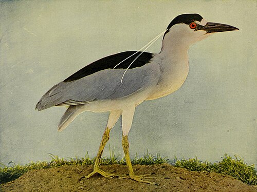
Hunches on the riprap at dusk, waiting for the killifish shift to start.
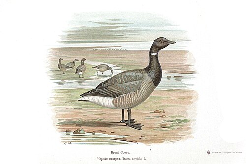
The small dark sea geese that raft off the piers all winter — Arctic breeders that treat the East River as their Riviera.
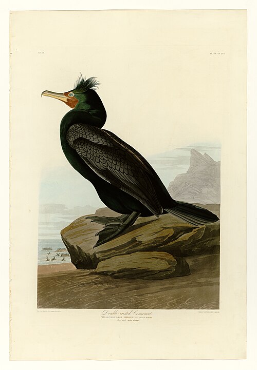
Stands on the old ferry pilings drying its wings like laundry — the river's most reliable silhouette.
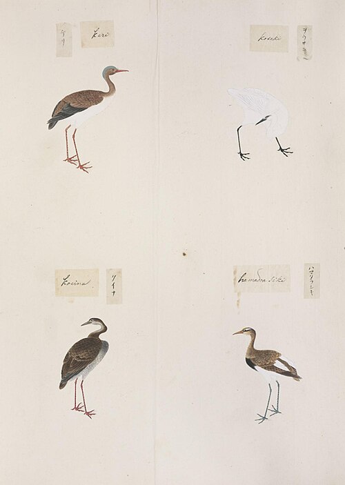
White as a page, stalking the engineered wetland at the park's south end — proof the marsh is a marsh and not a decoration.
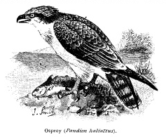
Back from the DDT brink and fishing the river again — watch for the hover, then the hit.

The fastest animal on earth commutes past the towers — New York's bridges host some of the densest urban peregrine nesting anywhere, and the gantries make a fine perch between sorties.

Tenured since before the towers. The ledger is honest or it is nothing.

Runs the lawn economy — buries acorns under the Oval like it holds the lease. It arguably does.
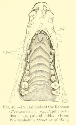
Audits the park bins after closing with the thoroughness of a forensic accountant.
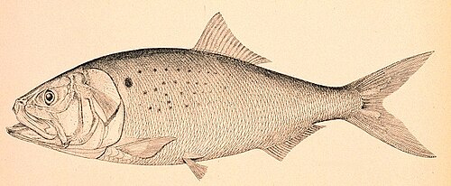
The bunker schools that dimple the river on summer evenings — the little fish every other fisher on this list is really here for.
Once paved the harbor floor; now being reseeded reef by reef, with restoration cages hung off this stretch of river. Look, don't eat.
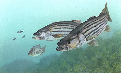
The reason the fishing pier has its own cleaning table. Spring and fall runs push bass up the East River — the regulars work the outgoing tide at dawn.
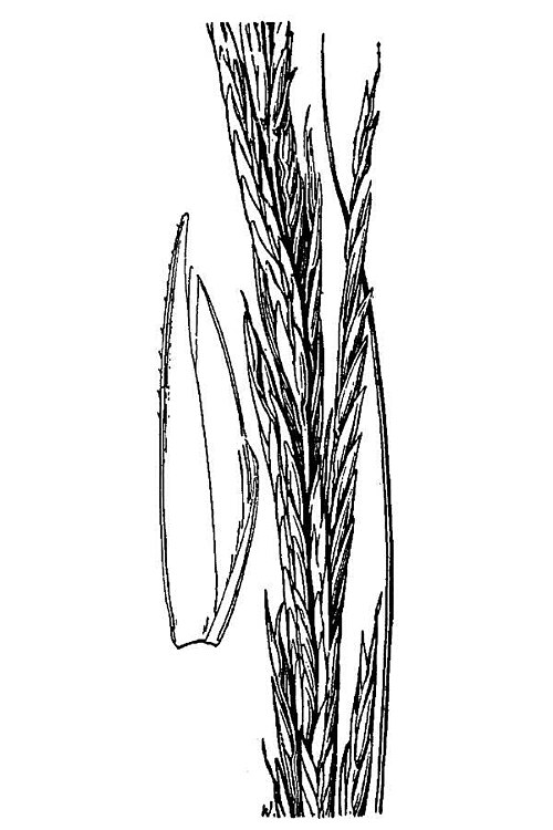
The engineered salt marsh at the south end — it flexes, floods and stands back up. The park's quietest piece of infrastructure.
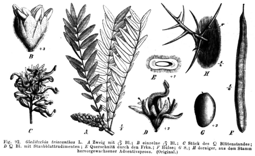
The lacy canopy over Center Blvd — shade filtered fine enough that the café tables underneath stay in business.
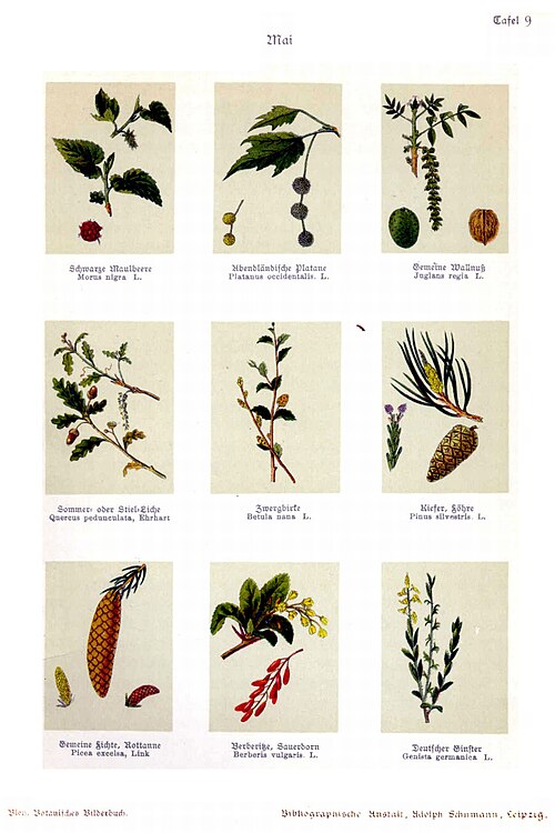
The camouflage-barked workhorse of the promenade rows — the city's most planted street tree, built for salt wind and hard summers.
Every way in, out and across the zip — the trains and where they're headed, the buses, the bike docks, a cab when you need one, and what to do with a car.
49th Ave at 21st St — the quieter second door to the 7. · 11101
Vernon at 50th Ave, one block off the towers — two stops to Grand Central. · 11101
Peak-hour diesels a few blocks east, under the 49th Ave overpass. · 11101
The little terminal at Borden Ave & 2nd St, rush hours only — the ghost of the ferry-and-rail age the gantries served.
The landing at the park's edge; the East River route threads the whole waterfront.
The interborough link on the pocket's landward edge.
The waterfront local, north along Vernon toward Astoria.
Docks the length of Center Blvd and at both parks — the flat waterfront is the easiest riding in Queens.
Boro taxis take street hails; Uber and Lyft queue by the towers and the ferry landing at rush hour.
Car-share pods live in the residential garages along Center Blvd.
Nearly every Center Blvd tower has public monthly and hourly parking below it — the street itself is mostly metered or permit.
The block from below and at the corner — the traffic signals that time the street, and the manholes, drains and subway mouths that open onto everything running beneath it. Counted from OpenStreetMap; the parts no city publishes are named, not guessed.
Count is OpenStreetMap-derived — it maps each signalized crossing separately, so approaches are clustered into intersections (≈, not exact). The timing isn't public at all: per-signal cycle plans aren't published. Most run fixed, coordinated cycles you can learn by standing at the corner; some busier crossings are sensor-actuated or adaptive to live traffic — where a city states which, it's tagged above; where it won't, it reads Not published.
The surface access is mapped — manholes, storm drains, subway mouths and vents. What they open onto isn't: the water, sewer, gas and cable networks that run below the block are not public geometry, so they're named here, never drawn as fake lines. Points from OpenStreetMap.
Every café, restaurant, bar and counter on the ledger — typed and faceted straight from the knowledge layer.
The zip's flagships, staples and indies, the brands they carry, and the shared product vocabulary underneath — the graph an integrated zip-POS would settle against. 130 retailers · 0 brands tracked.
The block's human makeup — the cohorts, the day-vs-night swell, the mix of who shows up. Set a lens up top and you'll see yourself among the neighbours.
About 0 more people are here by day than sleep here.
Every seat that holds power over the block, from the community board to the president. The template ships the seats; each edition fills the names from a dated source — an open seat means not yet sourced, never guessed.
The police surveillance technology documented over this block — plate readers, cameras, drones, face recognition and the rooms that pool them. Counted from the Atlas of Surveillance; a category with none documented is marked as such, never guessed, because absence of a record is not proof a tool isn't in use.
Software that matches faces from cameras or photos against a database to put a name to a person — often without their knowledge or consent.
Cameras that photograph every passing plate and log where and when it was seen, building a searchable map of a car's movements over months or years.
“Stingray” devices that impersonate a cell tower so nearby phones connect to them, revealing the location and identity of every handset in range.
Algorithms that forecast where crime will happen or who is likely to be involved, directing patrols and scrutiny toward people and blocks by statistics.
Unmanned aircraft used for aerial surveillance, crowd monitoring and, increasingly, as first responders dispatched to calls with cameras rolling.
Networks of always-on microphones on streetlights and buildings that listen for gunfire — and can capture voices — then send police to the sound.
AI layered onto camera feeds to automatically flag people, objects or behaviour, and to search hours of footage for a shirt colour, a bag, a face.
A roster of private security cameras — doorbells, shops, homes — that residents register or connect, letting police pull footage from across the block.
Cameras worn by officers. A record of encounters that can protect the public — but also a mobile, searchable feed whose footage the department controls.
Commercial services that pool phone, location, social-media and public records into one search, letting police buy access to data they'd need a warrant to collect.
A control room fusing live camera, plate, gunshot and phone feeds onto one wall — the hub that turns scattered sensors into continuous watching.
A state or regional office where local, state and federal agencies share intelligence — pooling records on people across jurisdictions with little public oversight.
Every obligation the city holds against one building — the facade cycle, the energy grade posted at the door, the elevator and boiler clocks, the violations and what they cost. Read straight from New York's own published record, never interpreted: a stream with nothing filed says so, because an unfiled cycle is itself the violation.
Every building over six storeys must have its exterior walls inspected by a licensed engineer and filed with the city on a five-year cycle. A SWARMP finding means safe for now but with repairs the building has committed to making — and those repairs come due before the next cycle closes.
Buildings over 25,000 sq ft get an ENERGY STAR score and a letter grade that must be posted at every public entrance. The same measurement feeds Local Law 97, which puts a hard carbon cap — and a per-tonne fine for exceeding it — on the building from 2024, tightening sharply in 2030.
Every device carries two clocks: an annual CAT1 no-load test and a five-yearly CAT5 full-load test, each filed with the city. A lapsed filing is a violation with a penalty attached, and the deadline belongs to the building, not the elevator contractor.
Low-pressure boilers get an annual inspection filed with the city. Defects found start a clock — 45 days to correct the ordinary ones, 180 for the ones that need a shutdown — and a late filing fee runs on top.
Violations that carry a monetary penalty and go before the city's hearings tribunal. These are the ones with a dollar figure and a balance — unpaid, they follow the building and surface in every refinancing.
Buildings Department violations without a direct penalty attached, but which must be cured and dismissed before the department will sign off on new work. Open ones quietly block permits.
Housing Preservation & Development violations — heat, hot water, leaks, peeling paint — graded A, B or C by hazard. Class C is immediately hazardous and carries the tightest correction window.
What neighbours, residents and passers-by have reported about this building to the Buildings Department. The early-warning stream: complaints precede inspections, and inspections precede violations.